Quest 4 of 15
Visual Inspection, Drones & Digital Twins
Study inspection AI used across heavy industry: drone and LiDAR surveys, Landing AI–style computer vision for defects, digital-twin simulations for what-if planning, and engineer validation workflows. AI triage can highlight cracks, corrosion, or slope movement — but dust, glare, and resolution create false flags. For example, you will classify findings as critical, monitor, or likely false positive and specify the field check before stop-work.
Start here
Drones and laser scanning extend what humans can inspect — AI helps sort findings, but engineers still judge what is dangerous.
Big idea
Visual inspection at scale flags cracks, movement, and water ingress for human validation — especially on slopes and structures hard to reach.
Learn one idea at a time
Read, explore, then mark each idea when you can explain it.
Idea 1 of 8
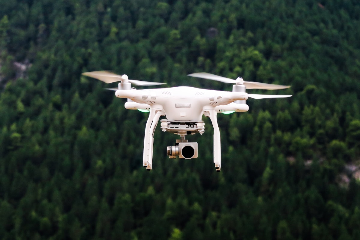
Drones changed inspection economics by decoupling coverage from human exposure. A pilot on safe ground can photograph a highwall, a tailings dam face, a stockpile, or plant roofing in an hour that would take foot patrols a day — and in places no person should stand: under unstable faces, over active traffic, beside energised equipment. The images arrive georeferenced and repeatable, so this month's flight can be compared with last month's from the same angles. The discipline that keeps it safe: flight plans are safety documents in their own right, with airspace control near blasting, weather limits, pilot competency requirements, and exclusion rules around people — an inspection tool must not become its own hazard.
Live interactive diagrams
Tap nodes, stages, or cards to explore — these diagrams match this module’s ideas.
Drone inspection flow
Weather, blast clearances, pilot competency.
Choose a deep dive
Open the topics you want to explore. The detail stays folded until you need it.
Deep dive 1Vision AI is a second pair of eyes
A model can scan hundreds of stockpile, highwall, or conveyor images for anomalies a tired inspector might miss. It can also flag harmless shadows after rain. Require a geotech or mechanical inspector to confirm any stop-work recommendation.
Deep dive 2Flight plans are safety documents
Drone missions near blasts, power lines, or congested haul roads need airspace control, weather limits, and pilot competency. AI analysis does not replace flight risk assessment or site aviation rules.
Deep dive 3Compare surveys over time
LiDAR and photogrammetry become powerful when you compare successive surveys of the same area. Change detection can reveal slope movement or volume loss — but surveyors must confirm ground control and alignment before declaring a hazard.
Deep dive 4Case study: the crack that was a tyre track
A drone survey's defect model flags a 'tension crack' near a waste dump crest, and the automated report suggests restricting access. The geotechnical engineer reviews the imagery before acting: resolution is good, but the flagged linear feature runs suspiciously parallel to a haul pattern. A field inspection confirms it is a compacted tyre track catching low-angle morning light. The site keeps the model — it has caught two real cracks this year — but formalises the rule the engineer applied instinctively: vision findings are screening evidence, and any access or production decision requires a competent person's confirmation. False positives are tolerable in a screening tool; unreviewed false positives that stop production, or unreviewed false negatives that miss movement, are not.
Deep dive 5Photogrammetry versus LiDAR, in practical terms
Photogrammetry builds 3D models from overlapping photographs — cheap, fast, and excellent for volumes and visual records, but it struggles in dust, low light, and vegetation, and its accuracy depends heavily on ground control points. LiDAR measures distance directly with laser returns — costlier, but it penetrates sparse vegetation, works in poorer light, and delivers more consistent accuracy on steep faces. Many sites fly photogrammetry weekly for stockpiles and reconciliation, and LiDAR monthly or after trigger events for geotechnical surfaces. Choosing by task and condition, rather than owning one hammer, is the mark of a mature survey programme.
Deep dive 6Eyes in the air, judgment on the ground
Drones reduce exposure; vision models can mistake shadows for cracks — inspectors confirm.
One-minute challenge
Connect this lesson to real life
Name one situation where this idea could help, and one thing a person should still check.
Explore a real-world example
Use the arrows to connect the idea to a visible situation.
Photo example
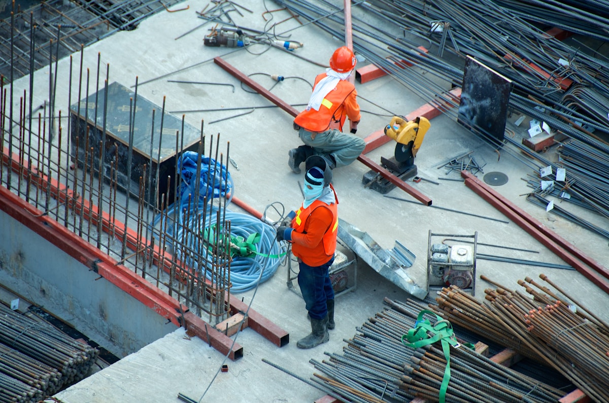
Example: flight is a safety process
Weather and blast clearances come before analysis.
Key terms
Tap a term to flip and read the definition.
Optional further learningFree textbooks and trusted online resources
These sources informed the course structure. Use them to revisit a concept or study it in more depth.
Ready check
Tick each idea only when you could explain it without looking back.
Ready for practice? Review scan cases and draft engineer-ready recommendations.
Extra context (audience, logistics, curriculum notes)
Built for: Inspection planners, reliability engineers, and operations leadership.
Formats: Case analysis · Checklist workflow · Recommendation report · Quiz
Industrial inspection AI — drones, vision platforms, and digital twin concepts.
Next up
Ready for the next part?
When you've finished the reading, inline exercises, and knowledge check for this part, check the box to continue.